Article written by: Graham Peterson and Bianca Gallina
Once a hotbed for uranium mining during the mid-20th century, the western United States is experiencing a notable resurgence in uranium exploration. As the world grapples with the challenges of transitioning to a low-carbon future, uranium’s role in nuclear energy cannot be overlooked.
History:
The United States has a rich history of uranium mining. Exploration activity peaked during the 1940s and 1950s when the demand for uranium resources was at its peak, driven by the development of nuclear weapons and later nuclear power for electricity generation. The sedimentary formations of the Colorado Plateau became a primary focus of exploration, leading to significant uranium production in states like Colorado, New Mexico, Arizona, and Utah. However, the decline in nuclear power’s popularity in the late 20th century and the subsequent decline in the uranium spot prices led to a decline in uranium exploration.
Geology:
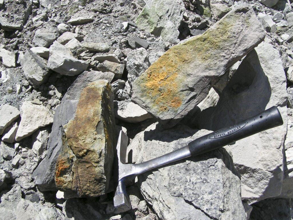
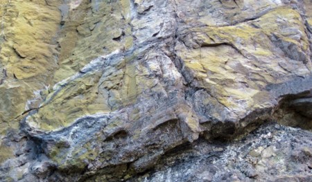
In 2024 the known uranium deposits of the western U.S. are regaining attention from both government and private entities seeking to secure a domestic supply of this critical element. There are various types of uranium deposits including: unconformity-related, sandstone, vein, metasomatic, intrusive, volcanic associated, quartz-pebble conglomerate, surficial uranium, collapsed breccia pipe, phosphorite, black shale and seawater, and placer deposits. Sandstone-hosted uranium deposits are the most common in the U.S. These deposits contain a vast suite of radioactive minerals such as uraninite and carnotite, but understanding the nuances of sedimentary geology is crucial for successful exploration efforts.


Exploration:
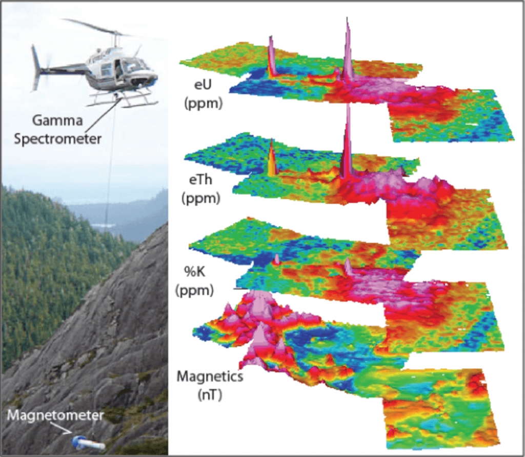
Although similar to prospecting and exploring for other minerals, searching for uranium can be easier due to its radiation signature and association with thorium that can be mapped from the air.
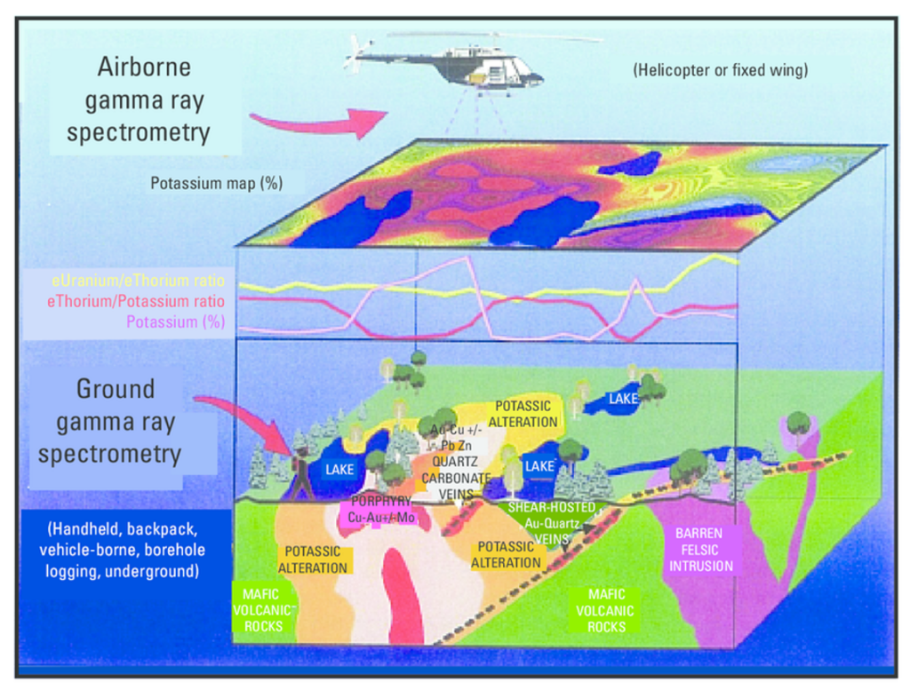
Modern uranium exploration employs a range of advanced techniques such as airborne gamma-ray spectrometry to identify potential deposits. On-the-ground tools, such as scintillometers, are used for direct measurement of gamma radiation, helping prospectors pinpoint areas with anomalous uranium concentrations compared to background levels of radiation.
While aeroradiometric surveys and scintillometers are powerful tools, they have limitations. Snow cover will attenuate the radiation signature. Subsurface complexities, variations in rock composition, and natural background radiation can complicate the interpretation of survey results. Sandstone-hosted uranium deposits can greatly be determined by sedimentology and structure, where depositional environments and sources of organic reductants control the location and amount of uranium that is precipitated from oxidizing, uranium-rich fluids.
A combination of methods and ground-truthing is often necessary for accurate exploration. Once areas of interest are selected based on regional geology, known occurrences, historical data, any historic drilling data, and aerial survey, the next step involves sampling soil and surface rocks or even groundwater to determine uranium concentrations. These samples undergo rigorous laboratory analysis, providing quantitative data on the presence and grade of uranium in the area.
Burgex Mining Consultants provides comprehensive uranium exploration services. We have extensive background in conducting land status reviews and claim staking services. We have conducted regional data reviews and targeting studies for several uranium clients. We can provide geological services for property due diligence, preliminary targeting, and drilling.


