GIS Services
Spatial Data Analysis
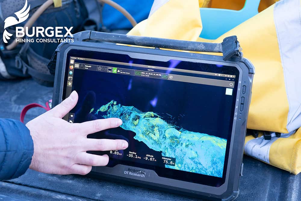
We leverage advanced Geographic Information Systems (GIS) and spatial analysis techniques to provide precise, data-driven insights that inform decision-making and optimize operations. Our team specializes in mapping, modeling, and visualizing complex geological data, allowing you to identify trends, assess resource potential, and strategically plan exploration and mining activities. From identifying mineral-rich zones to evaluating environmental impacts, our spatial data solutions deliver clarity and actionable intelligence to enhance project outcomes.

