Exploration and Consulting Services
WE SOLVE THE CHALLENGES OF MINING
Partnering with clients to successfully advance their mineral resource projects.
INTRODUCING BURGEX MINING CONSULTANTS
Qualified.
Experienced.
Honest.
We provide expertise and clarity that help our clients discover and expand the value of their mineral resource projects.
Growth
Teamwork
Integrity
We Own It
Our Services
We combine modern trends and innovation with years of expertise to make our clients more money in a reliable, efficient way.
SOLVING THE CHALLENGES OF MINING WITH OUR EXPERTISE
Mining Consulting
MINE PLANNING
We have an expert in-house mining engineering staff for all your mine planning needs, big or small we’re ready.
CONSULTING
We take a big picture approach with our mining consulting services to provide an overall look at your project from geology, mine planning, economics, and logistics.
CONSTRUCTION AGGREGATE
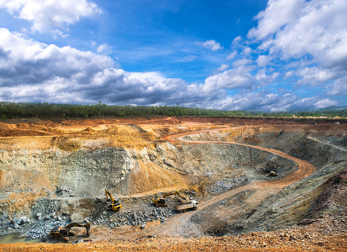
We have evaluated hundreds of potential quarries throughout the United States and have worked with regional and national producers across the construction aggregate industry.
MINERAL MARKET ANALYSIS
Our mineral commodity market analysis studies are tailored to specific size and the location of your project.
Over a decade of experience
Mineral Exploration
CLAIM STAKING & LANDMAN
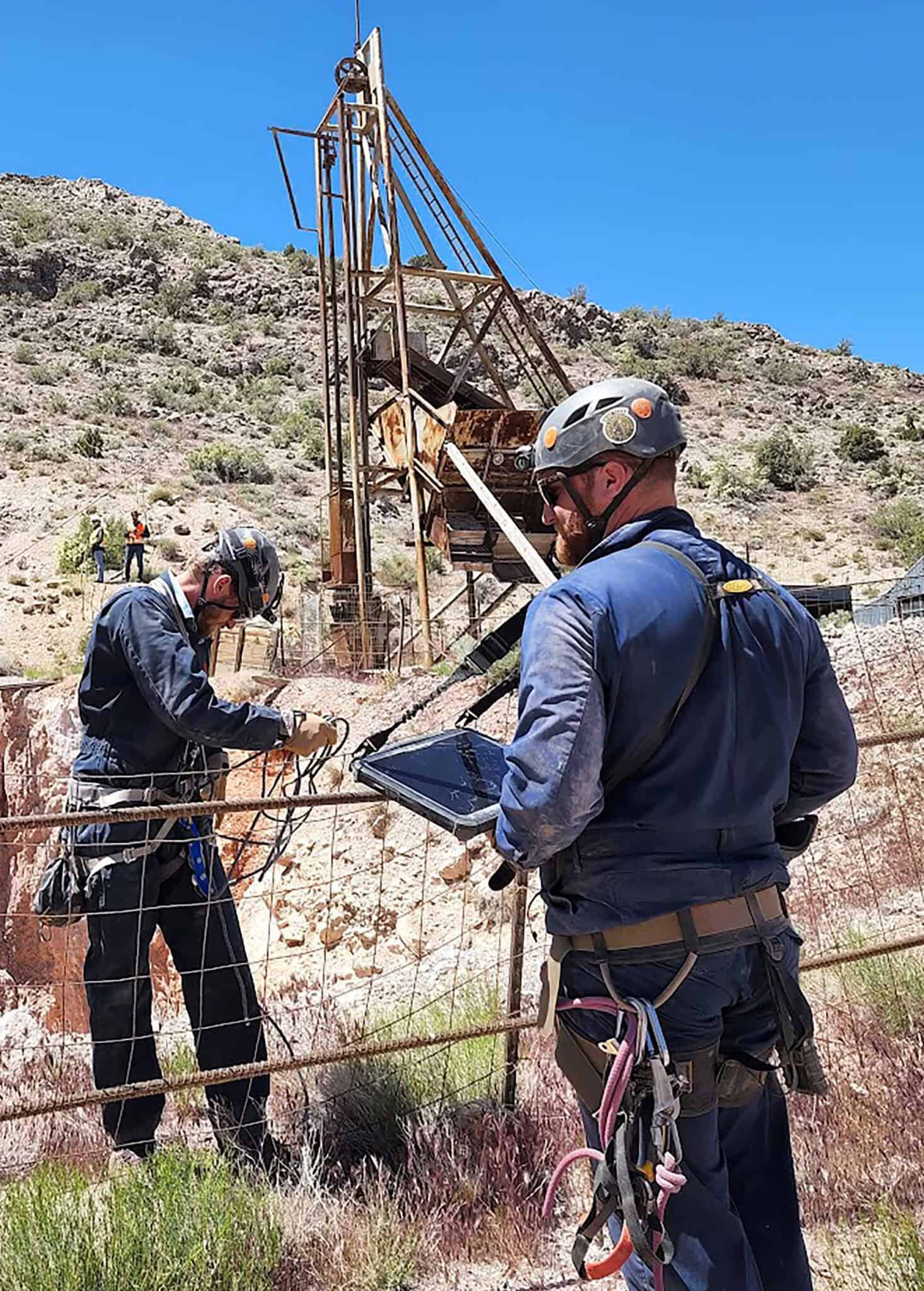
We have staked thousands of lode and placer claims across the Western United States. We know all the laws and regulations, with boots on the ground we will get the job done.
CLAIM GUARD
When you enroll in our Claim Guard program, Burgex will manage the BLM and County renewal process for you, ensuring your mineral rights are not withdrawn.
TECHNICAL REPORTS
Burgex can write your NI 43-101 and S-K 1300 reports from a simple listing level report designed to facilitate your IPO or private placement, to a feasibility study to support your mining decisions.
GIS SERVICES
Burgex specializes in generating GIS maps, visuals and databases to help companies gain the context needed to further business decisions.
GEOLOGICAL SERVICES
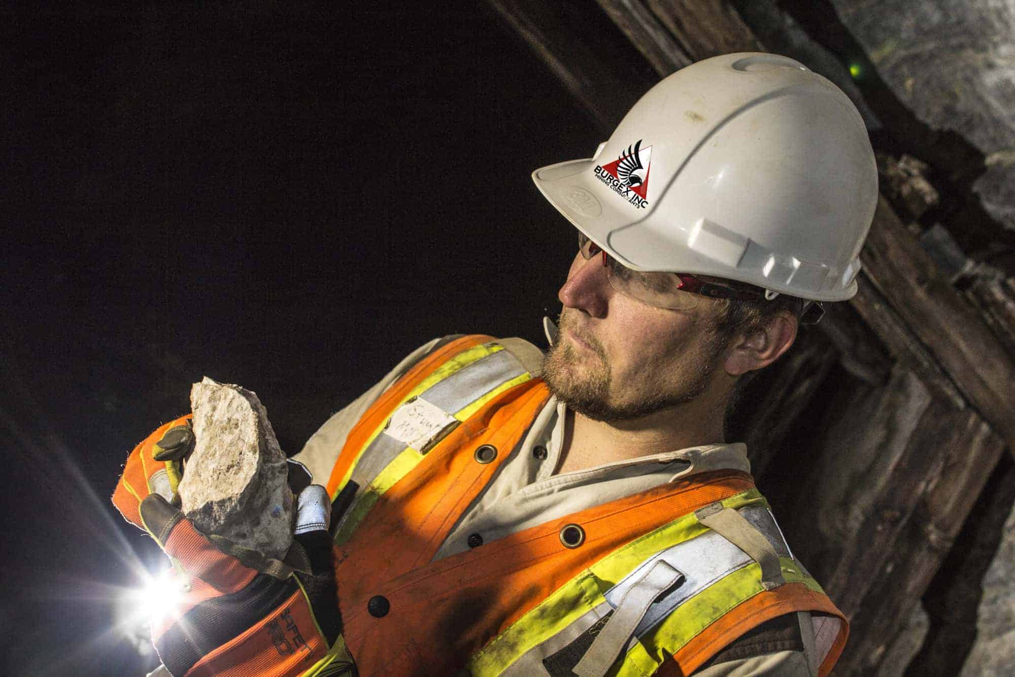
An early stage, cost-effective exploration practice, geo services will provide high-quality data to help identify mineralogical signals in the subsurface.
Burgex Fundamental Core Value
Choose Safety Always
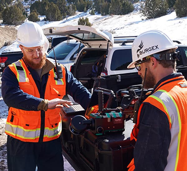
At Burgex, safety is a top priority in all aspects of the company’s operations. The company has implemented a robust safety management system that includes policies, procedures, and guidelines to ensure that all employees, contractors, and clients have the safest working environment possible.
Our Expertise
The Premiere Provider of Exploration Services in the Country
Our expert team of mining consultants is prepared to assist you from mineral exploration through mining operations, all in one place.
Years of Expertise:
With decades of experience in mineral exploration, mining consulting, and claim staking, we bring unmatched knowledge and proven results to every project.
Years of Experience
Mining Projects
Mining Claims Staked
Acres of Claims
Companies We’ve Worked With
Proud Members Of





Clients Testimonials
