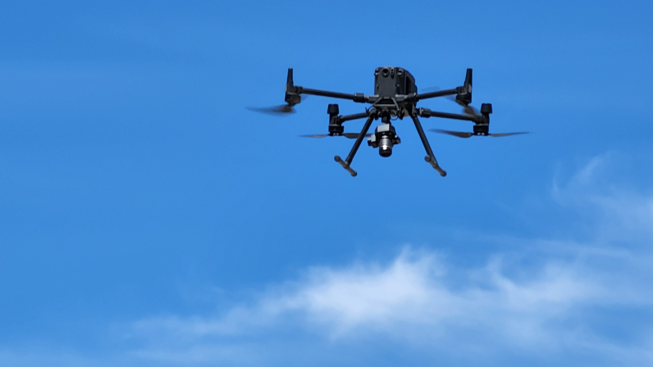
The unmanned aerial vehicle (UAV) or “drone” industry is evolving rapidly, offering incredible potential to transform the mining industry. Drones have become a game-changer for mining companies, providing cost-effective and safer ways to map deposit sites, explore vast tracts of rugged terrain for minerals, monitor stockpiles, and track equipment. With advancements in payload technology and the adoption of high-resolution sensors, drones are reshaping the mining sector by offering efficiency and cost advantages throughout the mining life cycle. This article delves into the applications, benefits, and advancements of drone technology in mineral exploration.
The Emergence of Drones in Mining:
The mining industry is witnessing the rise of drones as a powerful tool in mineral exploration. Drones provide cheaper and safer alternatives for topographic and photographic mapping of deposit sites and detecting minerals. Their potential applications in the mining industry are virtually limitless, spanning from exploration and planning to mining operations and reclamation. With rapid advancements in payload and battery technology, drones can now carry heavier equipment, enabling tasks that were previously difficult to accomplish. While the agricultural industry has seen notable gains from drones, the mining and mineral exploration industry is not far behind, embracing this technology that was once dismissed as a passing trend.
Cost and Efficiency Advantages:
One of the most significant benefits of using UAVs in mineral exploration is their cost-effectiveness. Drones offer a far more affordable option compared to traditional manned aviation platforms, allowing industries to survey new areas at a fraction of the cost. In just a day, drones equipped with high-resolution cameras can map thousands of acres with exceptional detail, providing superior results compared to conventional methods. Recent advancements in small, high-resolution sensors have further enhanced the capabilities of drone cameras. Additionally, the miniaturization of GPS and computer boards has contributed to the utility of UAVs by making them lighter, enabling longer flight times and greater coverage per flight. Integration with real-time kinematic (RTK) positional corrections and enhanced post-processing kinematic (PPK) methods brings survey-grade precision. By flying at lower altitudes than manned aircraft, drones capture images with unparalleled resolution, eliminating the need for extremely high-resolution cameras used in manned aerial survey aircraft.
UAVs in Aerial Mapping:
Drones have revolutionized early-stage mineral exploration projects by offering rapid and cost-effective aerial image mosaics. Compared to conventional aircraft, drones produce superior imagery at a significantly lower cost. The adoption of mapping drones eliminates the need for extensive ground control points, as they can generate accurate topographical maps and GIS data even in remote areas. This capability enables explorers to obtain a detailed 3D view of a property, facilitating project planning, reducing exploration costs, and expediting fieldwork. Expensive desktop computers are no longer required for viewing processed image mosaics. Most data deliverables derived from aerial drone surveys include image tiles easily viewed in freeware such as Google Earth on a standard laptop.
UAVs in Resource Modeling
Mining companies are leveraging UAVs and advanced topographic mapping techniques to estimate the size and value of mineral stockpiles. Drones generate precise 3D models of stockpiles, allowing accurate volume calculations for ore or mineral products (volumetrics). Monitoring changes in stockpile size over time is particularly valuable for mineral processing operations or aggregate operations. Similarly, drones assist in quantifying the size of quarries and pits by creating three-dimensional models and calculating the volume of the void. Repeated drone flights enable the verification of production volumes with centimeter-level accuracy. Software packages such as Pix4D and DroneDeploy facilitate the processing of drone data into actionable insights, providing companies with comprehensive measurements and area calculations. This data can be viewed and analyzed within resource modeling software such as Seequent LeapFrog and Micromine, providing new insights into geologic formations, resource calculations, and refinement of drill plans.
In-House Operations vs. Third-Party Service Providers:
While the utilization of drones is increasing in the mining industry, companies often face a choice between establishing in-house drone operations or contracting third-party service providers. While in-house operations require significant investments in training and equipment, many companies opt for the convenience of hiring drone service providers. Exploration-for-hire firms have also integrated UAVs and sensor technology into their offerings, allowing exploration and drilling companies to request these services as part of a comprehensive exploration package.

